
Quantified Map press kit

Quantified Map
Activity Tracking — Travel
For iPhone and iPad · by
Ludovic Landry
Short description
Quantified Map is a private, on-device personal map and timeline for iPhone and iPad. It turns the places you visit, your journeys, workouts and photo locations into maps of your days, trips and years.
Long description
Quantified Map, by independent developer Ludovic Landry, keeps track of where you go and how you get there. With optional background tracking, each day becomes a timeline of places and journeys you can correct and annotate, and any period, from a day to a whole year, becomes a map you can share as an image. Workouts from Apple Health, Strava activities, Swarm check-ins, photo locations, GPX files and Moves backups can fill in the picture, and stats show how your time splits across activities and places. The history is stored on the device, with no account, and can be saved to an encrypted Personal Backup. Requires iOS 26 or later; available in English, French, German, Italian, Japanese, Simplified Chinese and Traditional Chinese. On the App Store since 2017.
Assets
Each file is labelled with its capture date. {{4.3.0 screenshots: Ludo captures them on the Mac Studio}}
- App icon, 1024×1024 PNG
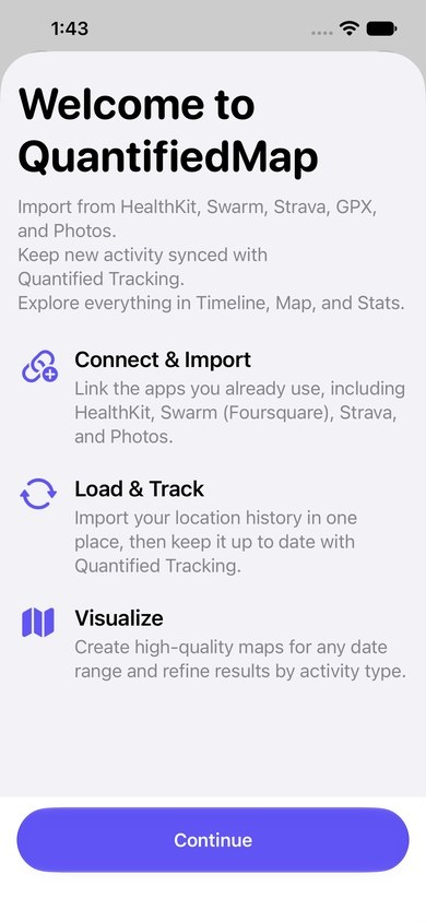
- Welcome screen, 390×844 PNG (test capture, October 2026)
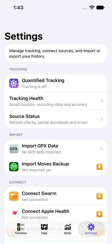
- Settings, 390×844 PNG (test capture, October 2026)
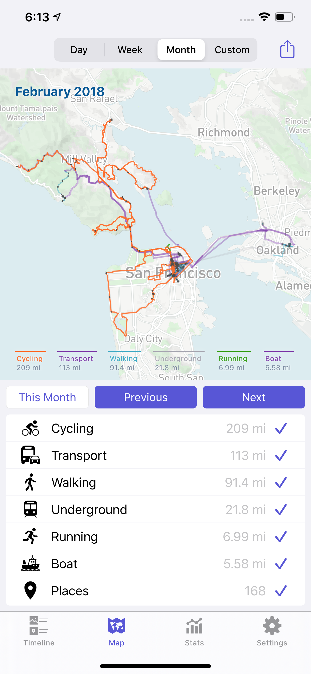
- Month map, 1242×2688 PNG (App Store screenshot, January 2020)
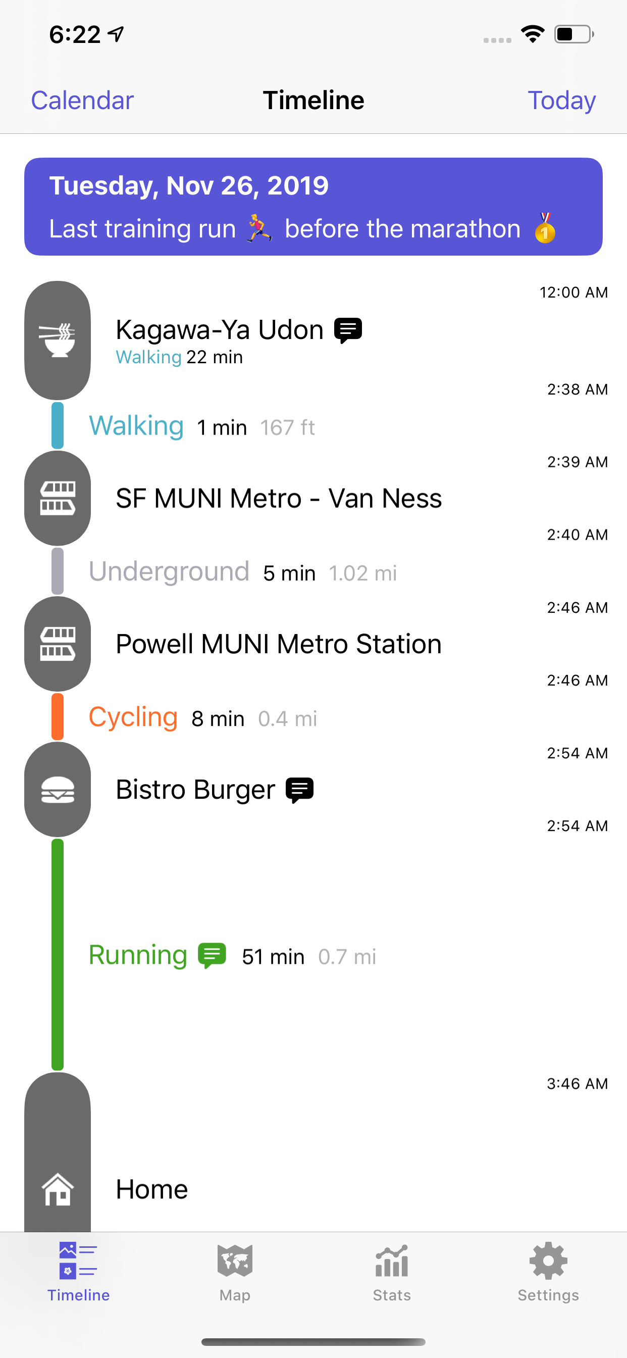
- Timeline, 1242×2688 PNG (App Store screenshot, January 2020)
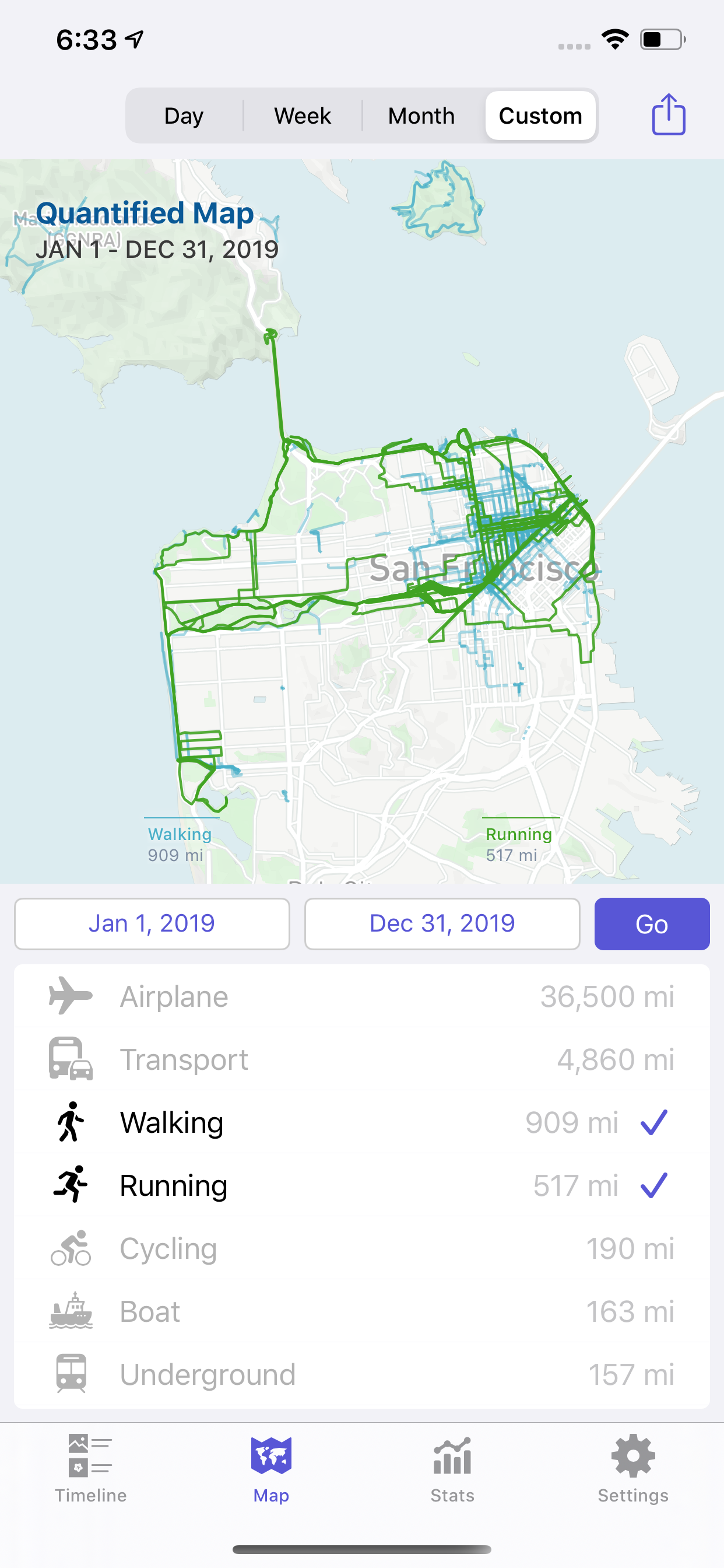
- Custom period map, 1242×2688 PNG (App Store screenshot, January 2020)
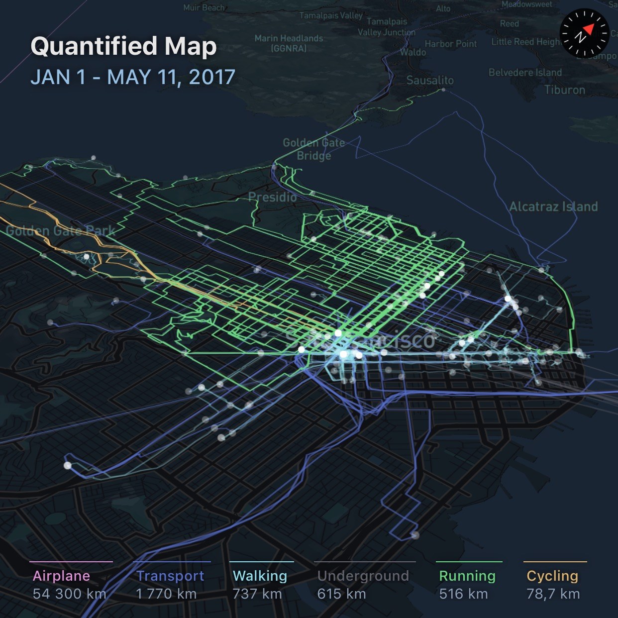
- Map render, San Francisco 2017, 1242×1242 JPEG (historical)
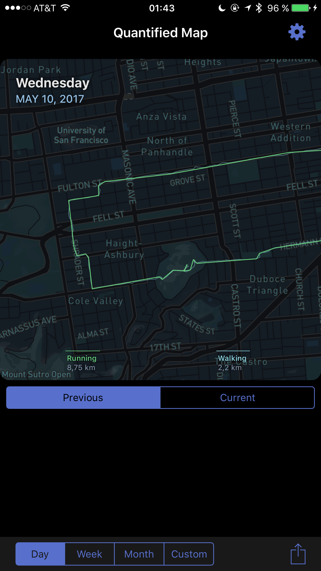
- Day view, 1242×2208 PNG (historical, 2017)
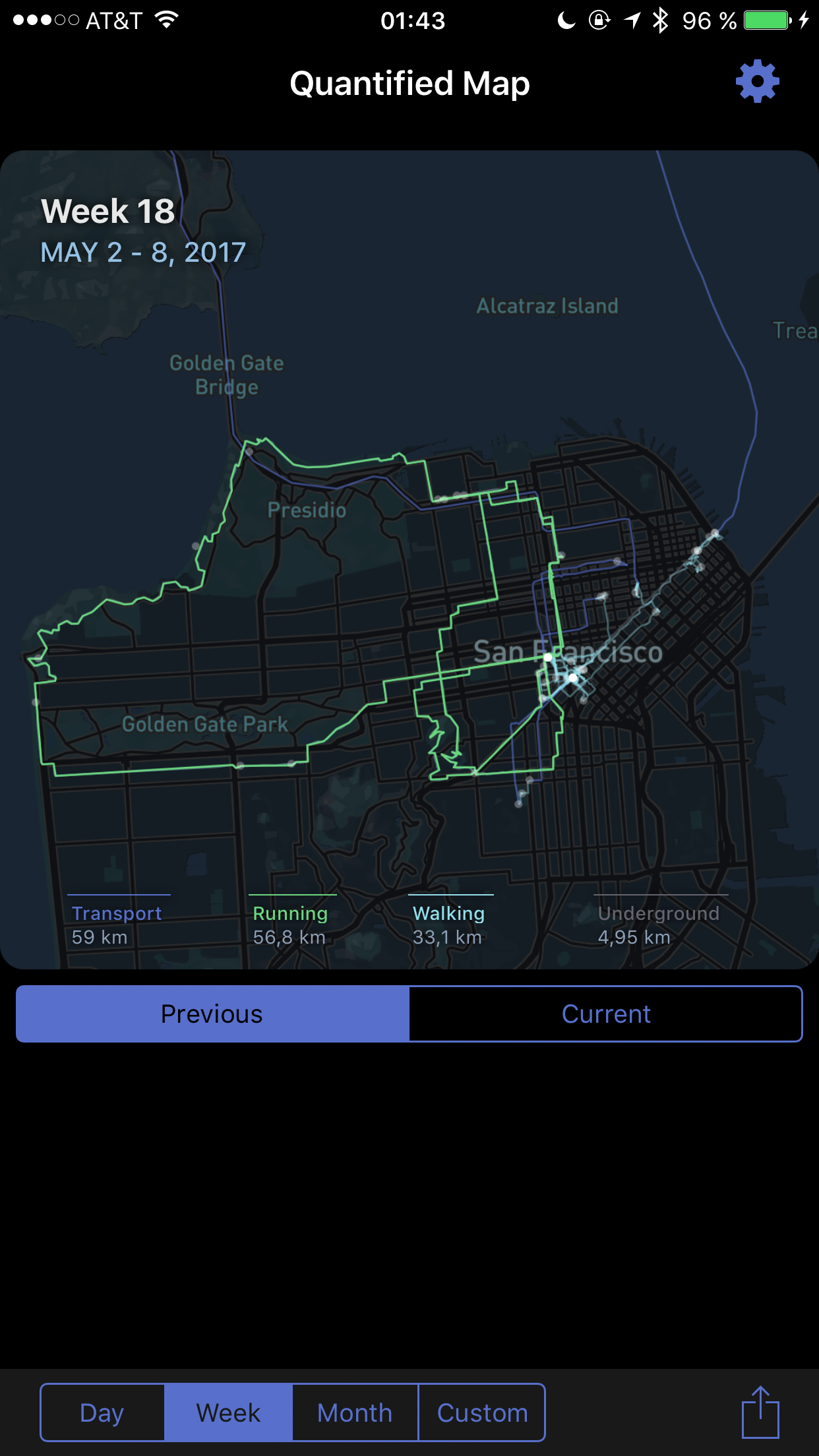
- Week view, 1242×2208 PNG (historical, 2017)
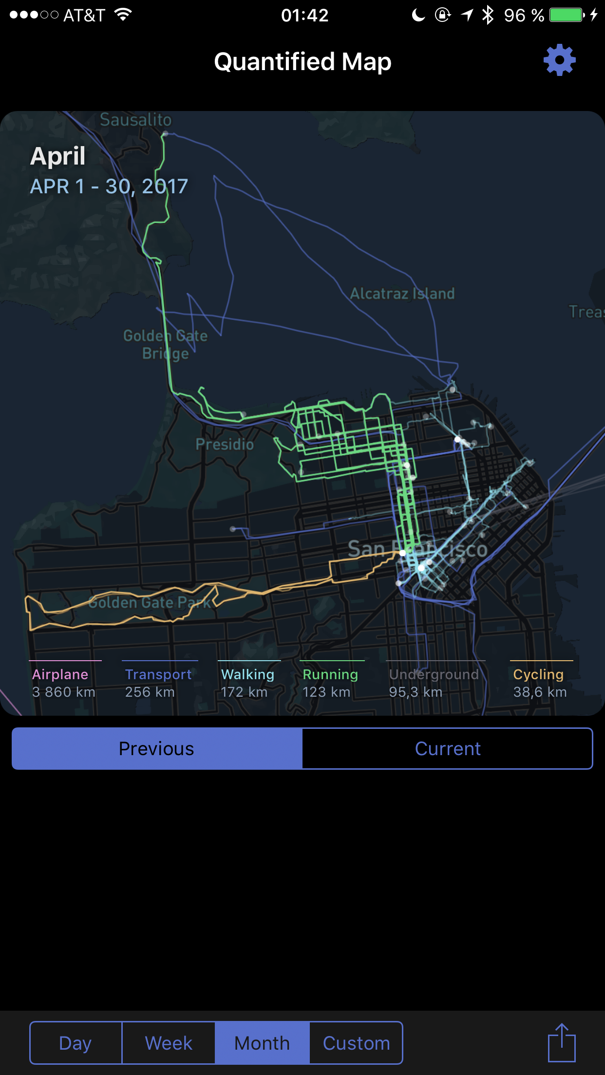
- Month view, 1242×2208 PNG (historical, 2017)
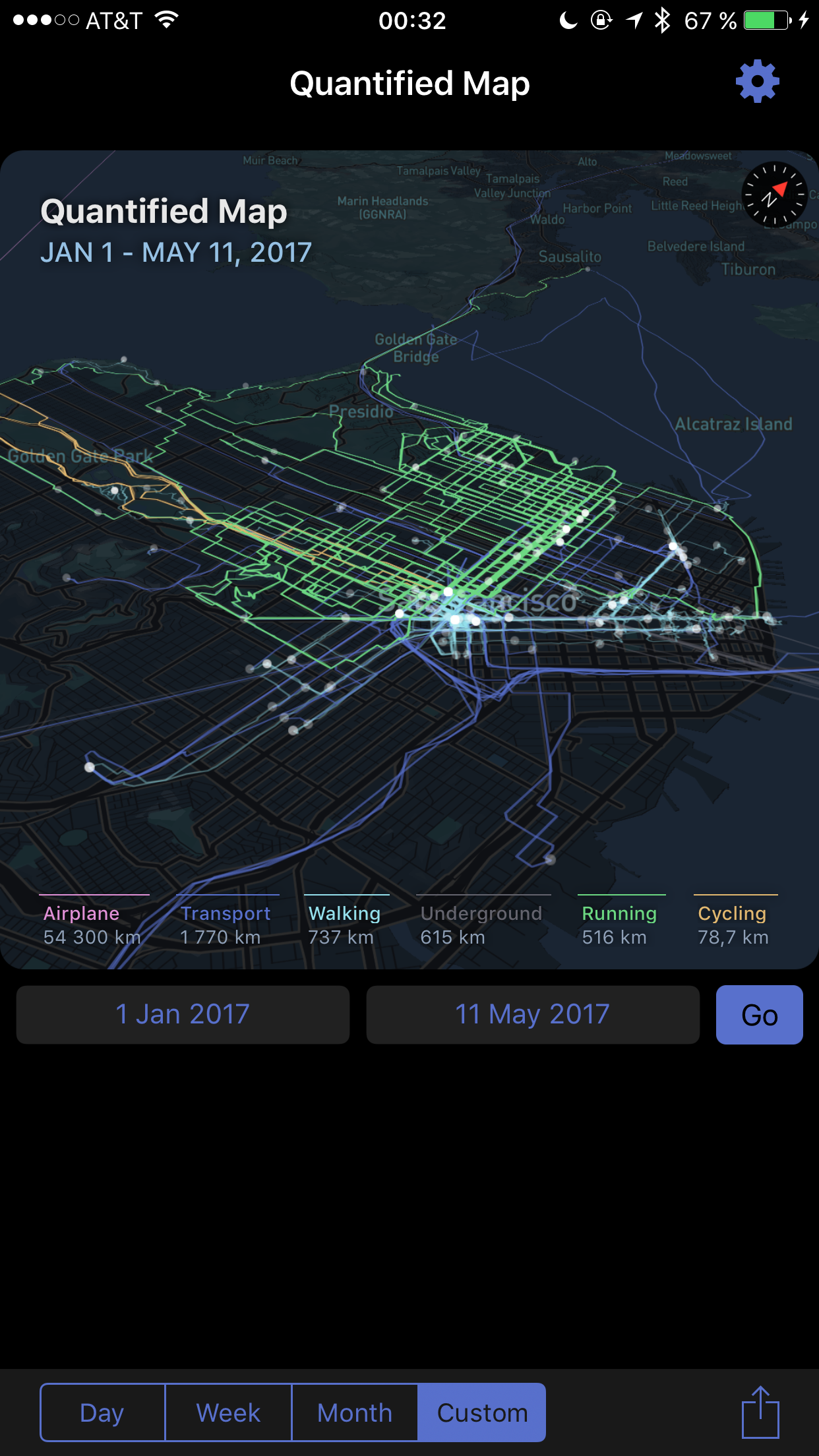
- Custom period view, 1242×2208 PNG (historical, 2017)

Coverage
Press contact
contact@quantifiedmap.com · X @quantifiedmap · Instagram @quantifiedmap
